4
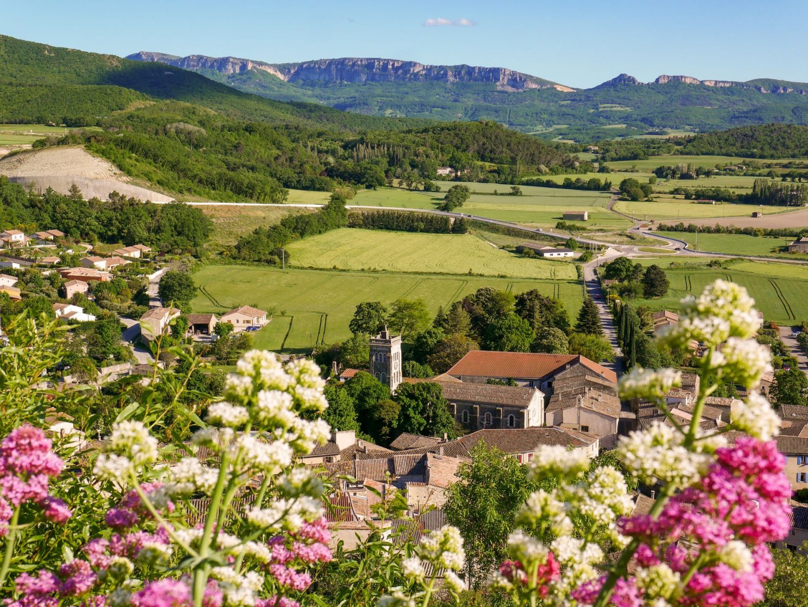
Other than views over the plains, Couspeau mountain or Saoû forest, this hike is perfect to discover Puy-Saint-Martin.
Description
Starting point at the town hall.
Take 19 mars 1962 street (Manas road) and cross the main road. Take Rue du Bourg, then Rue des Remparts. Turn left and climb the paved street. Finally reach the Belvédère path. Have a look at the viewpoint.
Keep the road and walk down. Follow Montée du Téron. Take Chemin des Ours at the junction, to the rigth. Keep straight and ignore the starts on the right and the left.
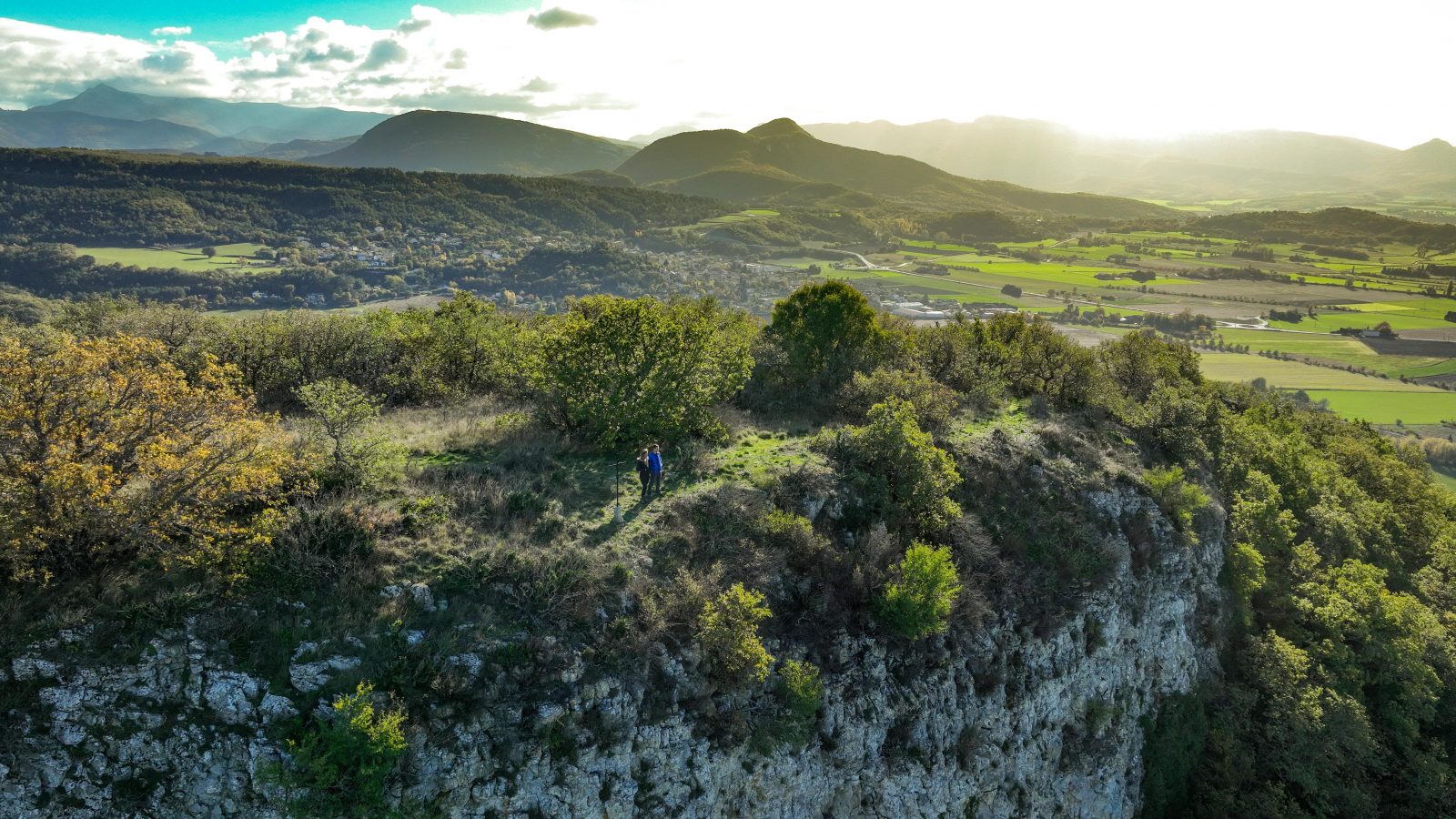
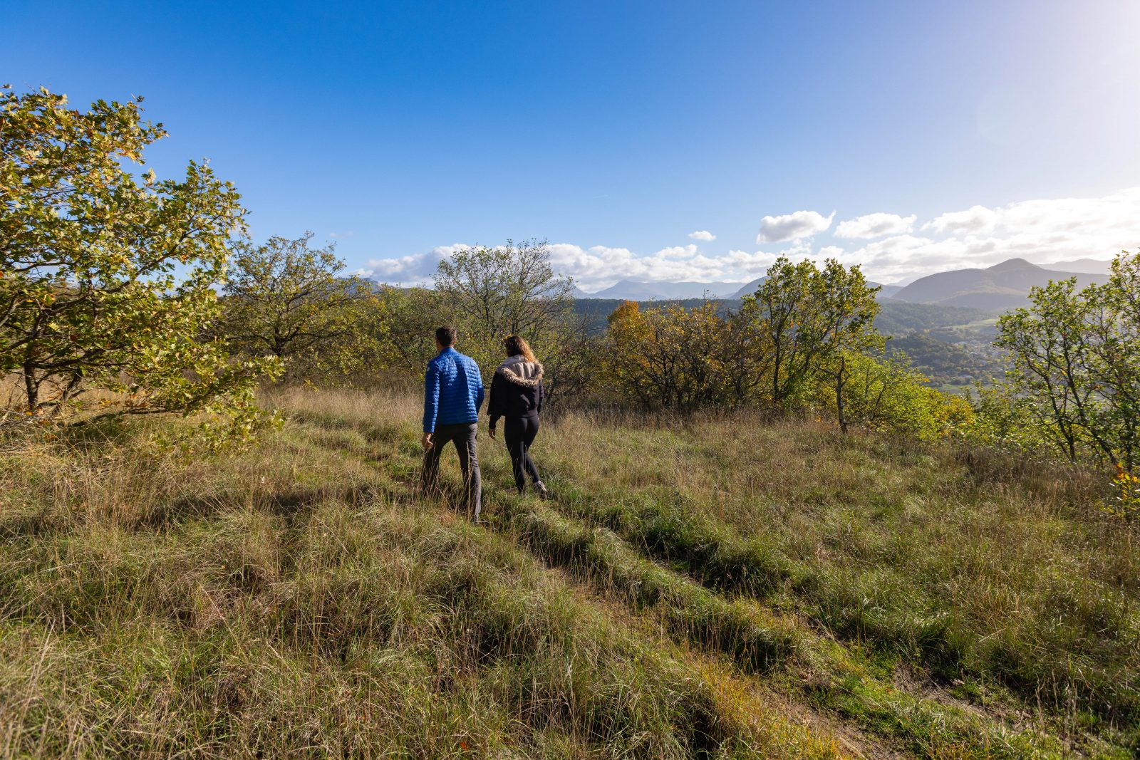
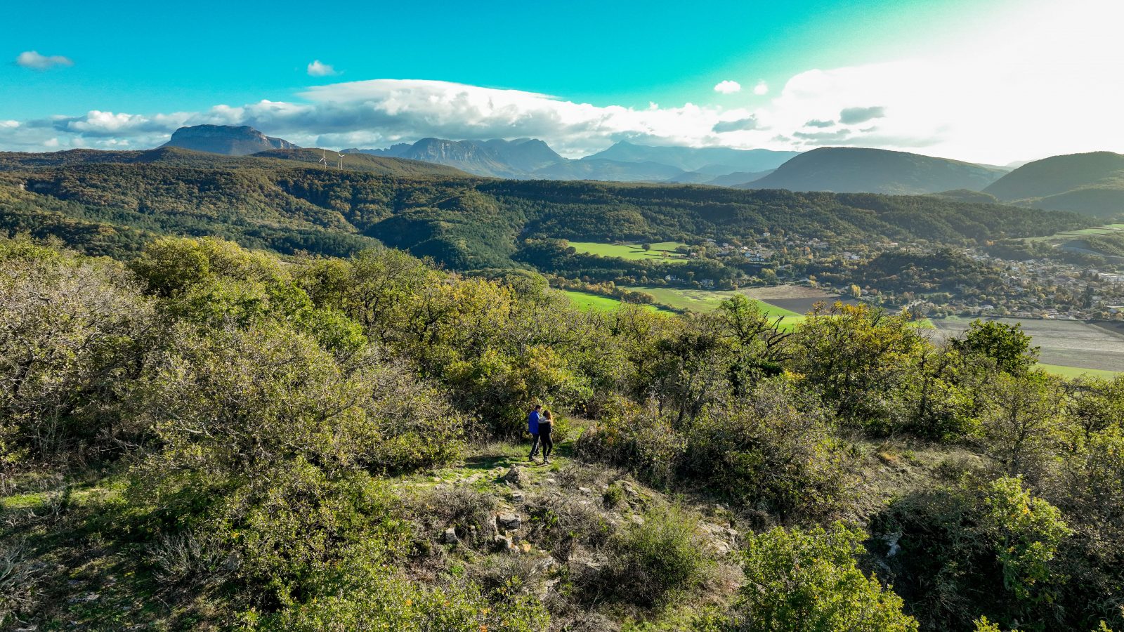
Take the ascending path on a slope to the right. The path climbs to the Chevrière lookout. At the top of the ascend, turn left and walk on the Chevrière loop. Back to the initial point, turn left and follow the main crest path.
Walk alongside the field and keep the main path that goes down and up. At the next junction, continue straight, and straight again.
The path arrives at the foot of a field. Turn right and walk alongside the field, then in the clearing before reaching a road.
Turn right and keep the road to the lookout point over Puy-Saint-Martin and the junction with a big road.
Cross with caution and take the little path on the opposite side. It climbs steeply on the Pigne crest. Follow the crest path with a beautiful view over the plains.
When the path descends and leads you to the Saoû road, turn right then cross the road and left.
The path is quite hidden and goes down in a small forest patch. Continue straight at the houses. Take Impasse du Vieux Chêne.
Follow the path in between fields, then get to the road and cross the roundabout straight. Go back to the starting point.
Spoken languages
- French
Labels and ranking
- Open air
Activities
- Pedestrian sports
- Hiking itinerary
Opening
Rate
Situation
To see the spot on the map, you can fly over the altitude difference below.