2
Description
Start your walk in the Montjars car park, which is the main car park of the village. Head away from the village along the little track that runs past the car park.
After 25 yards, you will see a children's' play area on your left. Go down to the right (safety note: very uneven ground) towards the parcours de santé (fitness trail) and the football pitch, and carry on across them, heading east.
Turn right onto the street that goes along past a plot of land; continue to a small wooded space on the right (with a book box, a bench and a fire hydrant) then turn right along the little track, still heading east.
Walkers share this path with mountain bike riders. Go above the village hall (located on the right where you see a small set of steps) and carry straight on along the path between dry-stone walls.
At a fork with three possible routes, take the one in the middle and continue, following the stone walls. Further on, where four tracks meet, turn right. The path ends at a larger track, a dirt road this time; turn left. Mind out for tree stumps. After about 500 yards, you reach a wider track. Turn right and go down to the D 472 road.
Go left for 300 yards (caution: two-way traffic) as far as the signpost for "Parking Galerie Linard". Turn right onto a wide descending track (mind out for the uneven surface) waymarked "PR8" in yellow. This path goes along past plantations of truffle oaks, then a big field of lavender on the left with a view of the village of La Garde-Adhémar.
Carry straight on along the footpath, cross the "Petit Rieu" (a little stream that is often dry) before the small wooden bench halfway along, until you reach an asphalted road in a residential zone and a municipal notice board. Turn right to climb back to the village (pace yourself; the gradient gets steeper later on).
Cross the D572 and take the Rue de la Basse Bourgade followed by the Rue du Porche (on the right) and a final climb on the right beneath an arcade.
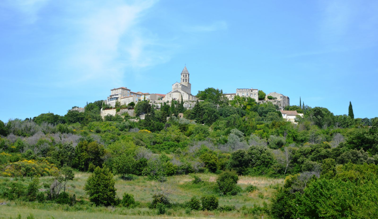
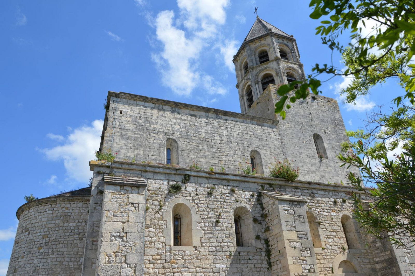
When you reach the calvaire (a calvary or wayside cross), there is a view of the keep tower of Clansayes and of Mont Ventoux just behind.
From there, you could visit the village via the track on the left (a gentle gradient) or head for the car park via the Rue Antoine Escalin (the street that climbs steeply opposite the calvaire).
Alternatively , when you get to the Place de la Loge, you could take in the Place Georges Perriod (where there is a grocery, café, restaurant and pétanque ground) on the left or to turn right to return to the Montjars car park.
Spoken languages
- French
Labels and ranking
- Open air
Activities
- Pedestrian sports
- Hiking itinerary
Opening
Rate
Situation
To see the spot on the map, you can fly over the altitude difference below.
Amenities and Services
- Pets welcome
- Picnic area
- Public WC
- Car park
- Free car park